Karten
Kartenquellen
Überregional
UVP-Verbund.de Umweltverträglichkeitsprüfung spflichtige Vorhaben
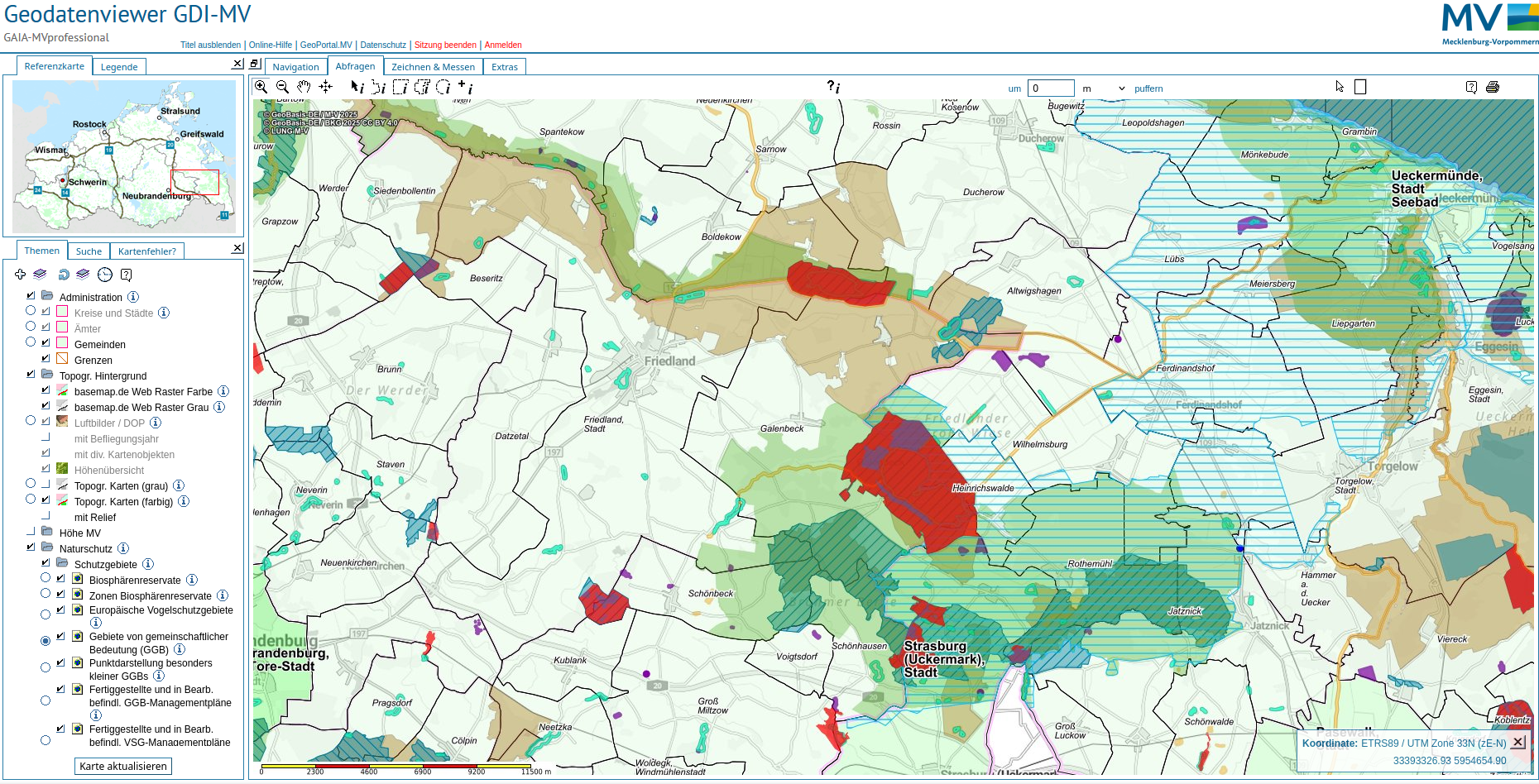
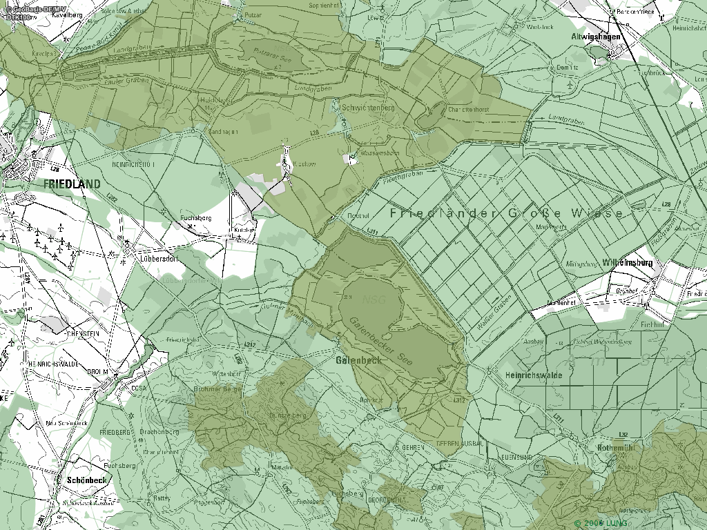
Ministerium für Landwirtschaft und Umwelt Mecklenburg-Vorpommern
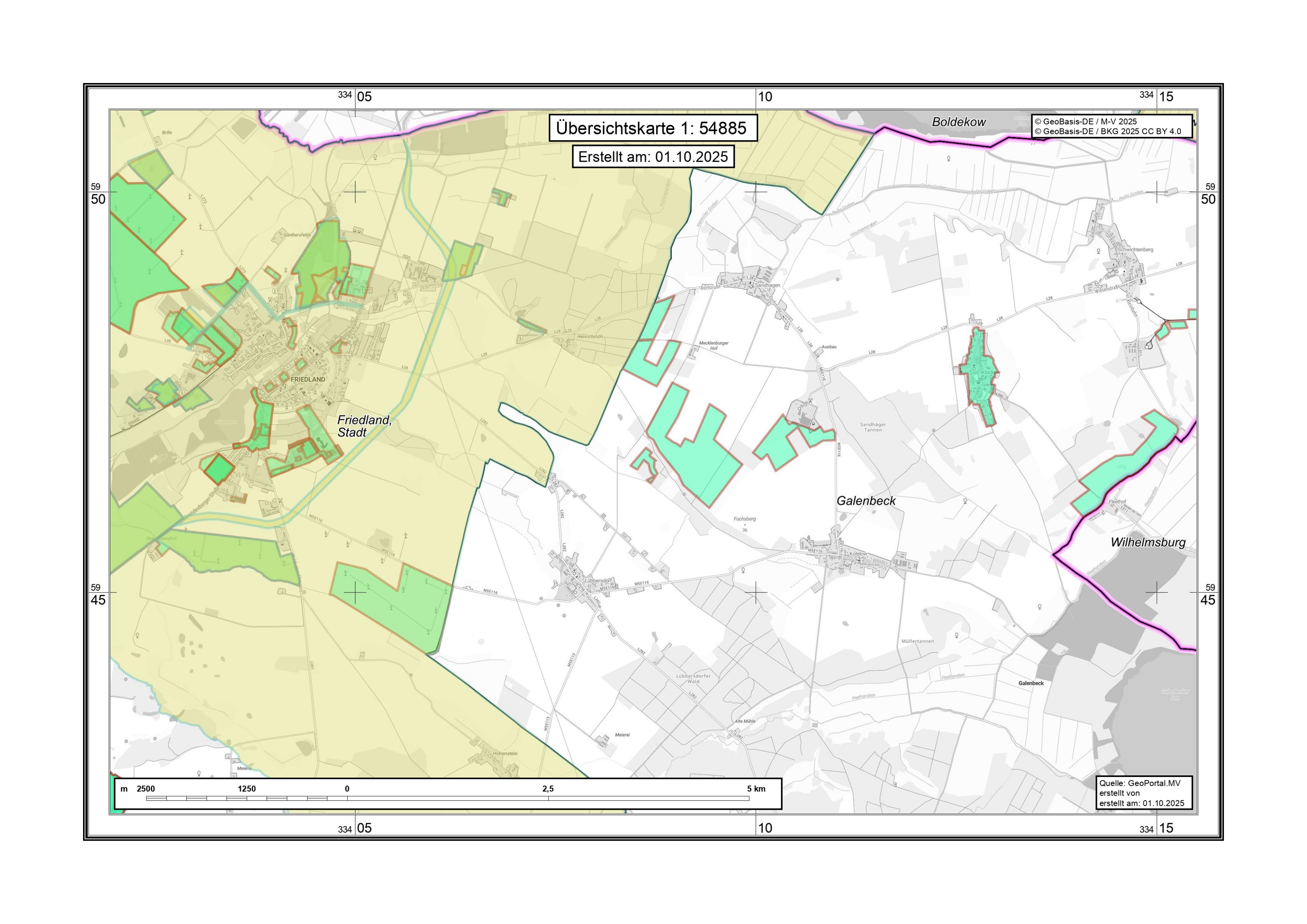
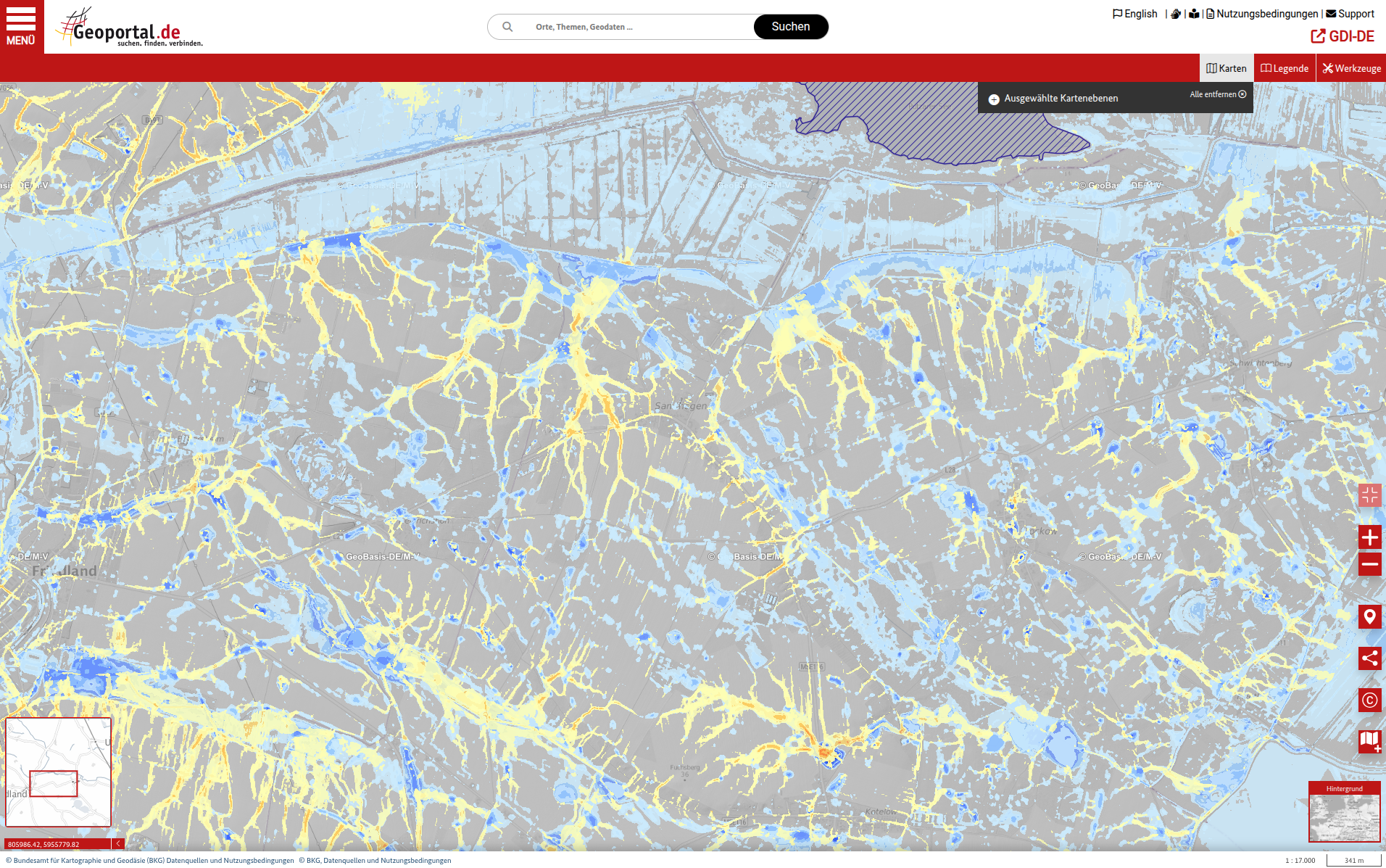
GeoPortal MV
- https://www.geoportal-mv.de/po[...]05955952 epsg:5650
- https://www.geoportal-mv.de/po[...]he/Themenkarten/Alle
LUNG / https://www.lung.mv-regierung.de/
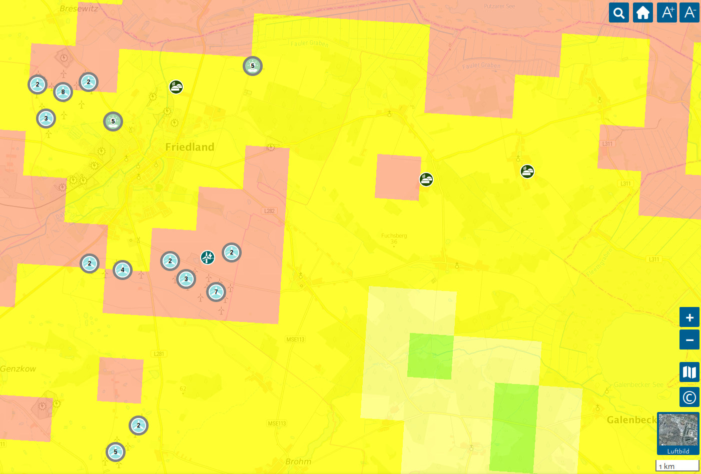
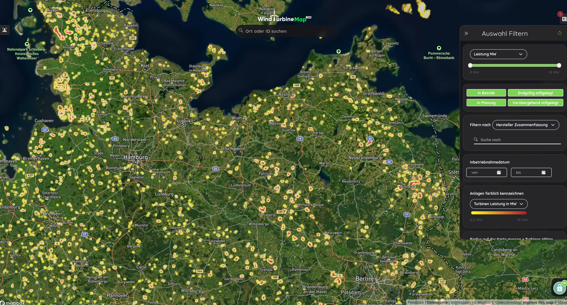
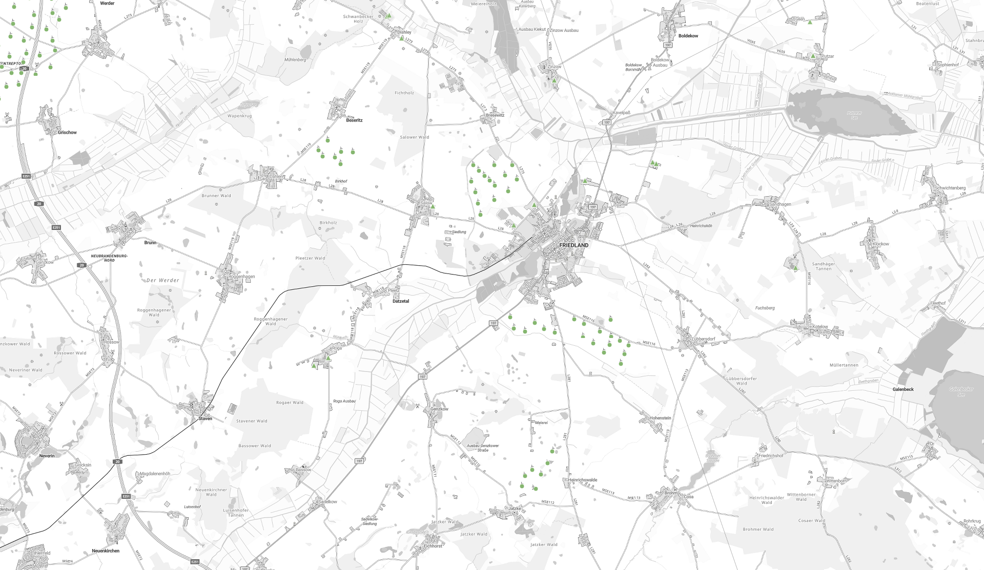
- https://umweltportal.mv-regier[...]tale/energieanlagen/ Energieanlagen
- https://umweltportal.mv-regier[...]tale/nschutzgebiete/ Naturschutzgebiete
- https://umweltportal.mv-regier[...]tale/wschutzgebiete/ Gewässer
- https://www.umweltkarten.mv-re[...]las/script/index.php Allgemein
LK MSE
RPV MSE
- Regionales Raumentwicklungsprogramm Mecklenburgische Seenplatte_Karte 2011
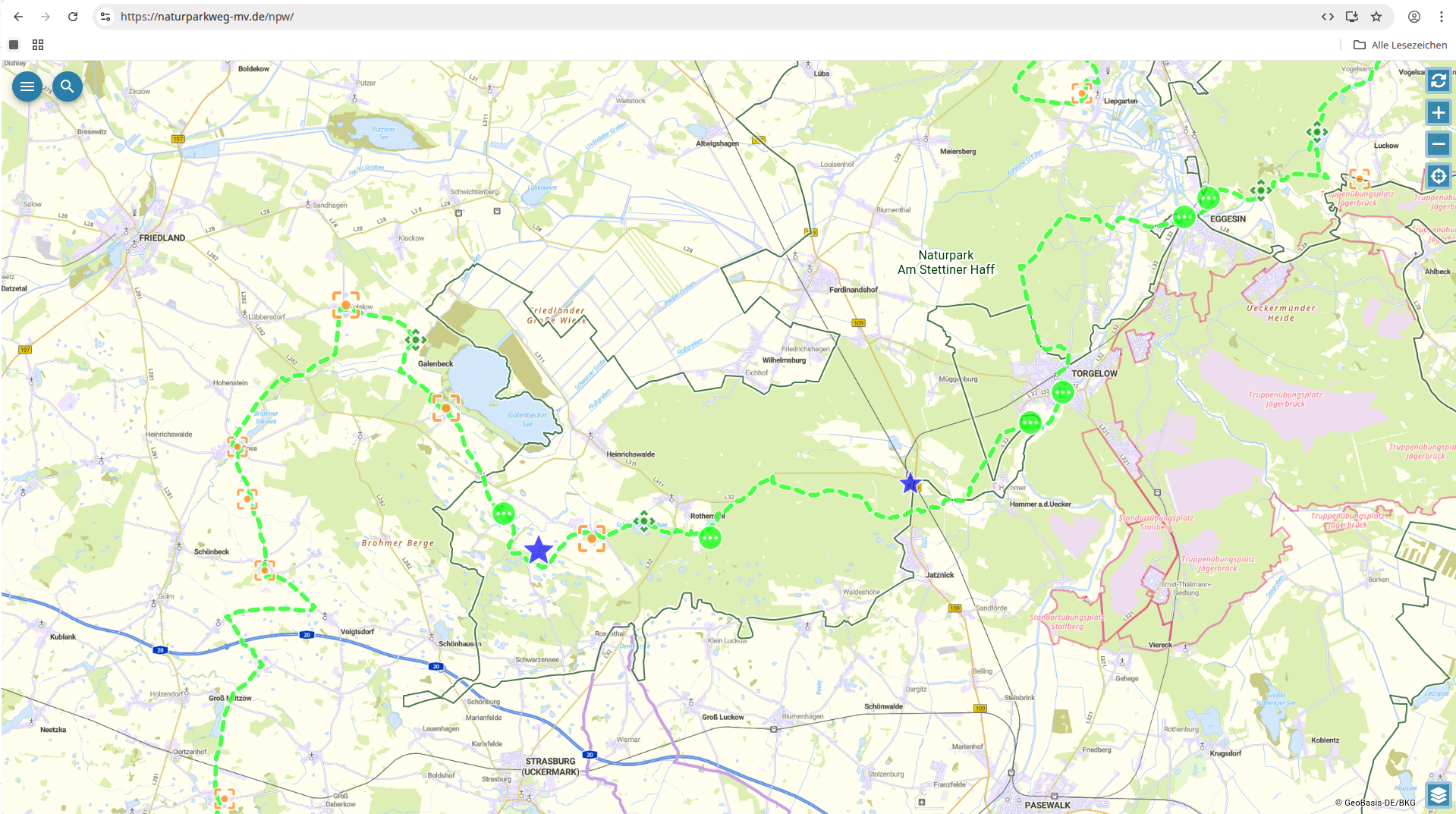
- https://www.region-seenplatte.[...]8.11&La=1&kat=3148.3
Kartendrucke
|
|
|
|
|
|
 |") Geoportal MV > Fachthemen "Liegenschaftskataster und Grundstückswerte" > Öffentliches Eigentum (ALKIS) |
Geoportal MV > Fachthemen "Liegenschaftskataster und Grundstückswerte" > Öffentliches Eigentum (ALKIS) |
|
|
|
|
|
Dateien
| Bildschirmfoto_20251010_193357.png | 588,2 KiB | 10.10.2025 19:34 | ||
| Bildschirmfoto_20251010_193853.png | 2,4 MiB | 10.10.2025 19:39 | ||
| Bildschirmfoto_20251010_194904.png | 882,6 KiB | 10.10.2025 19:50 | ||
| Bildschirmfoto_20251010_195520.png | 684,1 KiB | 10.10.2025 19:55 | ||
| Bildschirmfoto_vom_2025-10-30_19-51-18.png | 3,1 MiB | 30.10.2025 19:55 | ||
| Bildschirmfoto_vom_2026-05-04_20-02-13.png | 1,7 MiB | 04.05.2026 20:04 | ||
| Bildschirmfoto_vom_2026-07-11_18-09-49.png | Geoportal MV > Fachthemen «Liegenschaftskataster und Grundstückswerte» > Öffentliches Eigentum (ALKIS) | | 1,6 MiB | 11.07.2026 18:13 | |
| download.png | 1,3 MiB | 01.10.2025 20:10 | ||
| Galenbeck_Solarplan.png | 3,5 MiB | 01.10.2025 21:00 | ||
| Hochwassergefahr_MV_Galenbeck_OT-Sandhagen.png | 1,7 MiB | 03.03.2026 17:17 | ||
| naturschutzgebiete.png | 210,2 KiB | 01.10.2025 21:01 |